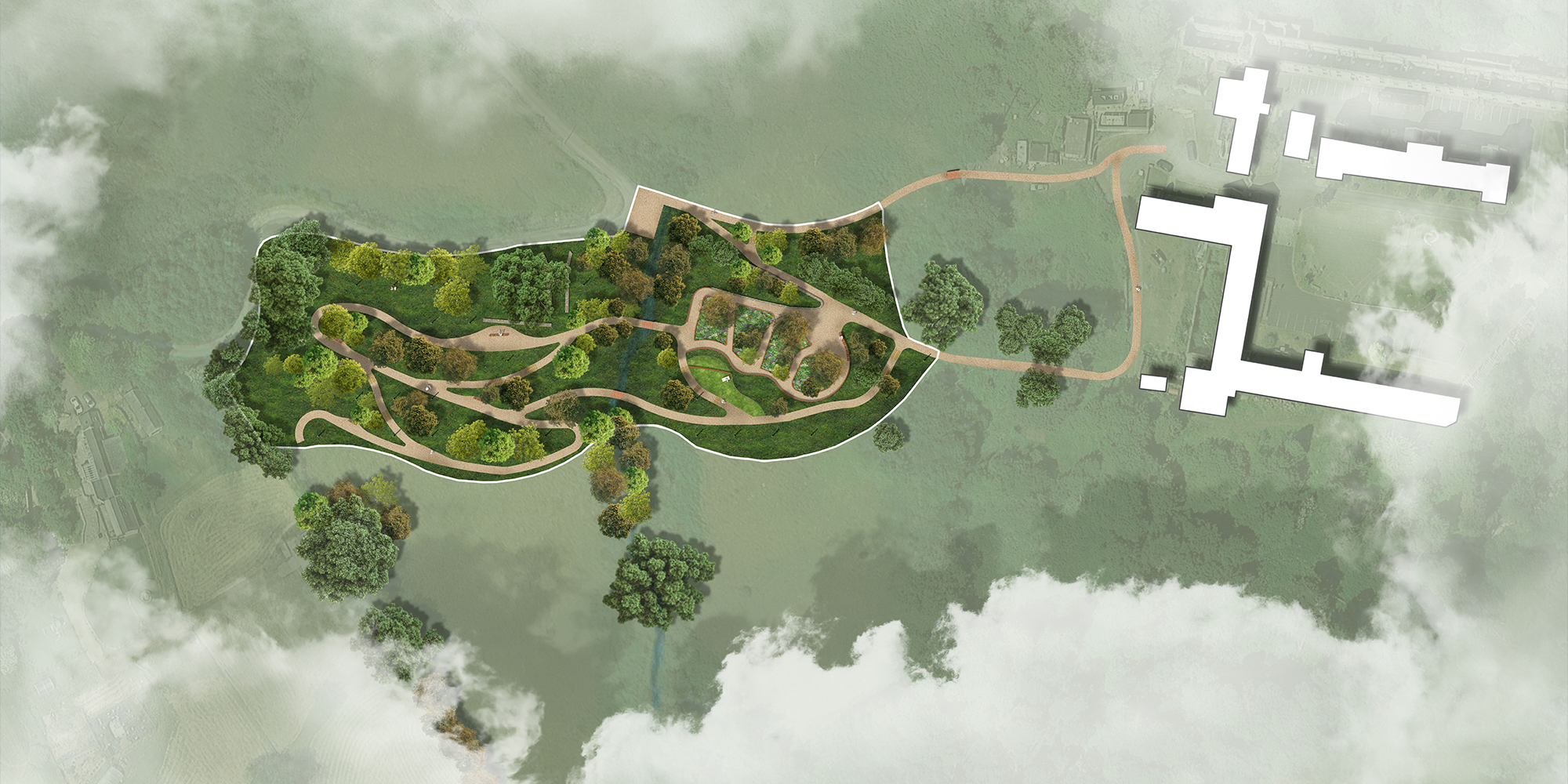
1. Design Approach
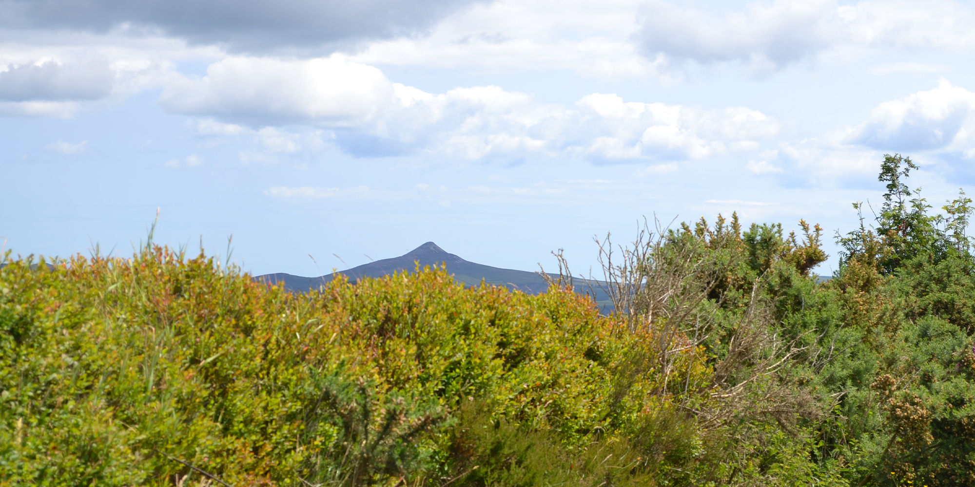
The design proposal aims to minimise impact on the existing natural landscape. The site’s topography was a primary consideration in the development of the plan, ensuring that interventions respect the land’s natural form. Minor earthworks will be required to create accessible visitor routes, and existing paths will be re-levelled to comply with accessibility standards. Proposed new paths are designed as a continuation of the existing network, maintaining the site’s character and circulation logic.
The practice managed all of the sub consultants for Ecology and Hydrology and the planning process.
________________________________________
2. Access and Circulation
• Top Path: Two new parking spaces are proposed adjacent to the existing road. A pedestrian path will connect these spaces directly and accessibly to the existing path leading to the Centre.
• Bottom Path: The existing path connects the Centre to the shelters area, which will remain part of the circulation network.
The proposal ensures that all routes provide accessible, direct connections while responding sensitively to the site’s terrain.
________________________________________
3. Site Operations and Key Interventions
The main intervention involves the demolition of existing abandoned shelters, followed by cleaning and levelling of the area. This zone, a key focal point of the site, will be enhanced as a gathering area. Key elements include:
• Retention of existing walls and the addition of two new walls: one in the main gathering area and another in the lawn area below. Both walls will incorporate benches for seating.
• Four planting sections within the main gathering area, where plots will be buried under heather planting.
________________________________________
4. Bridges and Stream Crossing
Two bridges are proposed to facilitate crossing of the existing stream.
• Southern Area: A gently sloping path provides an accessible route, with optional stepped paths for alternative access.
• Resting Points: Benches are strategically placed along paths to provide seating and opportunities for pause.
The design prioritises minimal alteration of the natural topography, although small adjustments and level changes are necessary in some areas to maintain full accessibility.
________________________________________
5. Landscape and Planting
• The remaining areas are designed as meadow grass and wildflower zones, integrating burial plots naturally into the landscape.
• Granite marker posts on a 10 x 10 metre grid are proposed to help visitors locate and navigate to individual plots across the expansive site.
This planting and layout strategy reinforces the site’s natural character, providing a serene, legible, and accessible environment for visitors.
________________________________________
6. Summary
The Glencree design proposal balances accessibility, functionality, and landscape sensitivity. Through careful consideration of the topography, minimal interventions, and thoughtful circulation and planting strategies, the site will be transformed into a respectful, accessible, and welcoming environment for visitors, while preserving the integrity of the existing natural landscape.